Termine
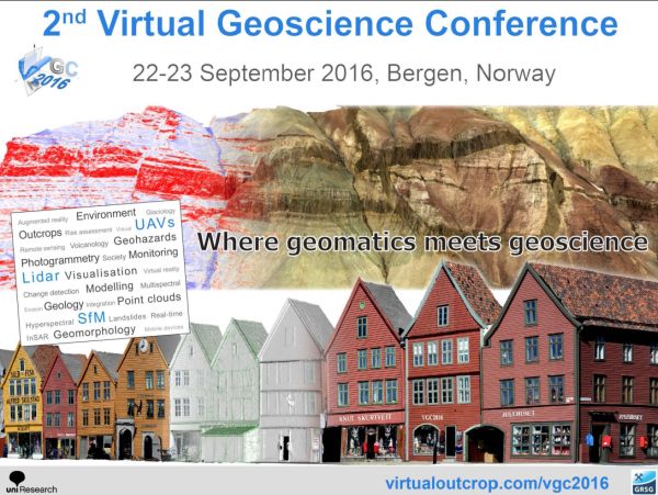
The 2nd Virtual Geoscience Conference (VGC 2016) is a multidisciplinary forum for researchers and industry specialists in geomatics, geoscience and related disciplines to share their latest developments and applications. The conference reflects the recent trend for convergence across geomatics, visualisation, computer vision and graphics, as well as virtual and augmented reality, which are filtering into geoscience applications to give new and exciting analysis possibilities.
Geospatial data obtained from e.g. laser scanners (lidar), photogrammetry, satellite imagery and GPS are having a massive impact on our understanding of the earth's surface topography and ongoing processes. Using state-of-the-art equipment and analysis, it is now possible to acquire high resolution images and 3D models from the ground and from the air (e.g. using drones). This allows us to study natural phenomena at a range of scales, from global to laboratory settings, and is impacting society through improved mapping and monitoring in areas such as geohazards, geology, geomorphology, volcanology and climate studies, as well as infrastructure and natural resources. Today, geoscientists have an array of multi-sensor imaging and 3D modelling techniques to call upon, all linked by the foundation in geomatics, for understanding issues affecting our relationship with the natural environment. VGC 2016 focusses especially on close range measurement, visualisation and analysis methods in geoscience research.
VGC 2016 will be held in Bergen, Norway’s second largest city and gateway to the beautiful fjord landscape – an area highly relevant to the conference theme in itself! Further information can be found at http://virtualoutcrop.com/vgc2016.
Contact person:
Simon Buckley (